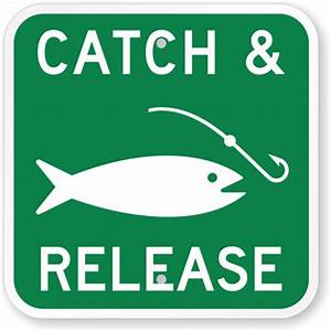
Catch-and-release areas of Massachusetts

Catch-and-release areas
There are 8 areas in the state that are designated as catch-and-release areas. When fishing in these areas, only artificial lures may be used and you may not have any bait in your possession.
1. Housatonic River
Special regulations: no fishing from June 15–Aug. 31 within 100 feet of mouths of Beartown Brook, Goose Pond Brook, Hop Brook, and Mohawk Brook.
- Housatonic River upper section map
Route 20 bridge in Lee downstream to Willow Mill Dam - Housatonic River lower section map
Glendale Dam downstream to the railroad bridge in Great Barrington.
2. Westfield River, East Branch
- Westfield River map
Chesterfield Gorge parking lot in Chesterfield to the gate north of the Corps of Engineers parking lot at Knightville in Huntington
3. Deerfield River
- Deerfield River upper section map
Fife Brook Dam to Hoosac Tunnel - Deerfield River lower section map
Pelham Brook to the Mohawk Campground
4. Swift River
Special regulations: Fly fishing only from Winsor Dam to Rte. 9. Rte.9 to Cady Lane, catch-and-release/artificial lures only from July 1-Dec 31, fish harvest and bait allowed Jan.1-June 30
- Swift River map
Winsor Dam to Cady Lane
5. Millers River
- Millers River upper section map
Templeton/Athol railroad bridge to the first dam in Athol - Millers River lower section map
From Wendell Road bridge in Orange to the breached dam in Erving center
6. Nissitissit River
Special regulations: Fly fishing only
- Nissitissit River map
New Hampshire border to the Prescott Street Bridge
7. Red Brook
- Red Brook map
Outlet of White Island Pond to the inlet of Buttermilk Bay
8. Quashnet River
- Quashnet River map
Catch-and-release sections: from the outlet of John’s Pond to the sign 0.1 mile below Route 28


nockedup Massachusetts outdoors.